Chounna Yemele Gergino
Environmental Engineer and Researcher.
Address: Padova, Italy


Publications
Here are current academic publications:
-
Gergino Chounna , Philip S. J. Minderhoud, Leonard Ohenhen, Katharina Seeger, Manoochehr Shirzaei, Pietro Teatini (2026).
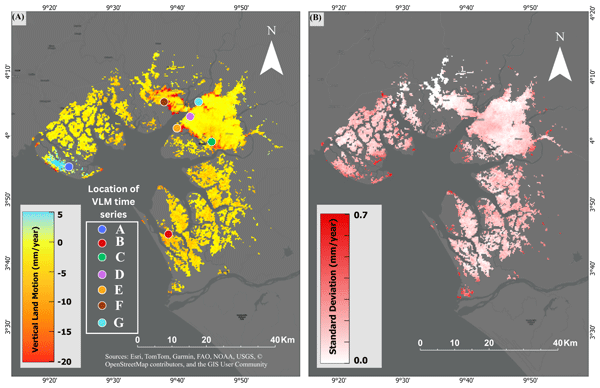
Land subsidence dynamics and their interplay with spatial and temporal land-use transitions in the Douala coastland, Cameroon
.
Natural Hazards and Earth System Sciences (NHESS).
-
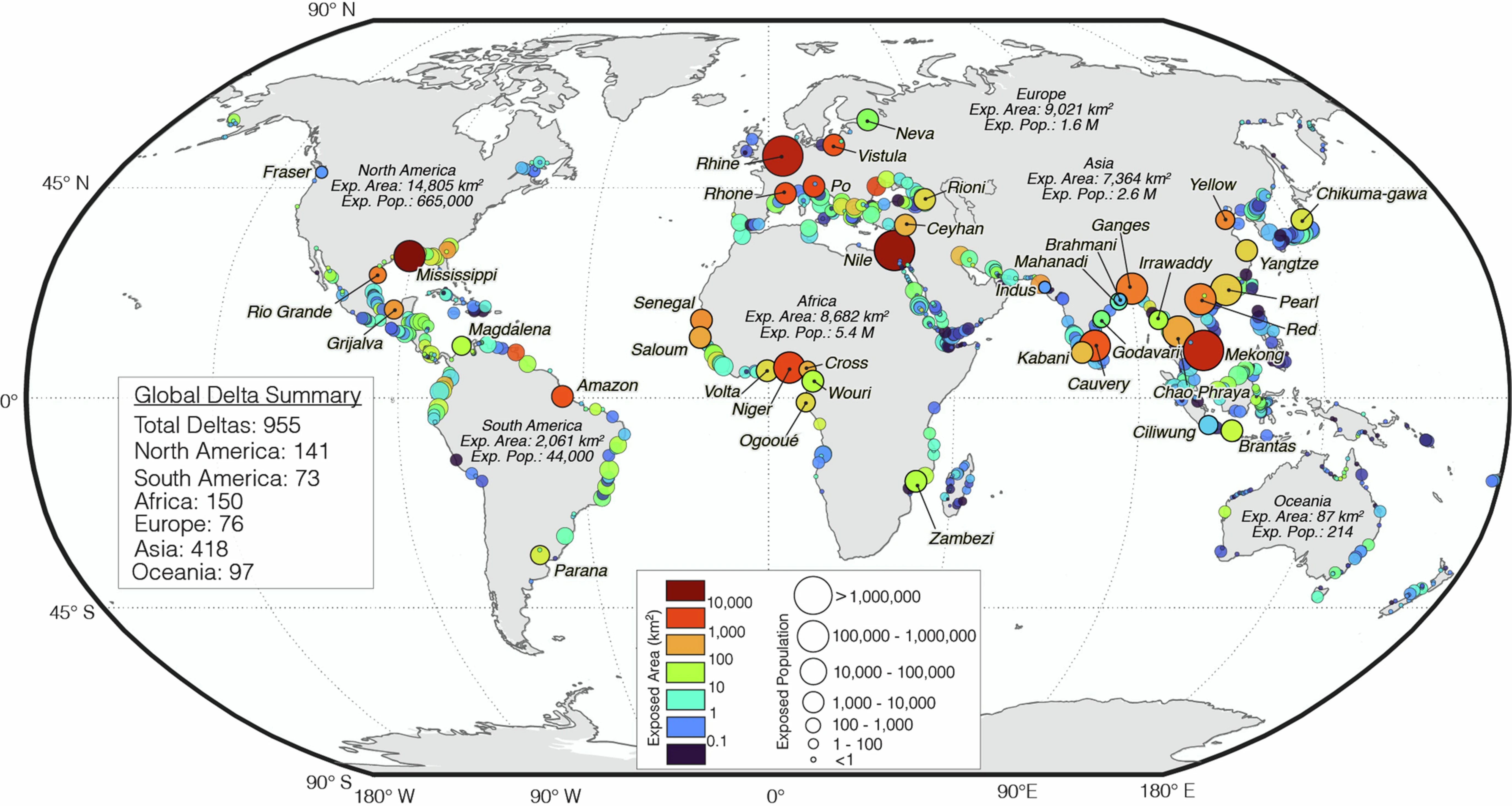
Ohenhen, L. O., Shirzaei, M., Davis, J. L., Tiwari, A., Nicholls, R., Dasho, O., Sadhasivam, N., Seeger, K., Werth, S., Chadwick, A. J., Onyike, F., Lucy, J., Atkins, C., Daramola, S., Ankamah, A., Minderhoud, P.S.J, Gergino Chounna (2026).
The Global Threat of Sinking Deltas
. Nature.
-
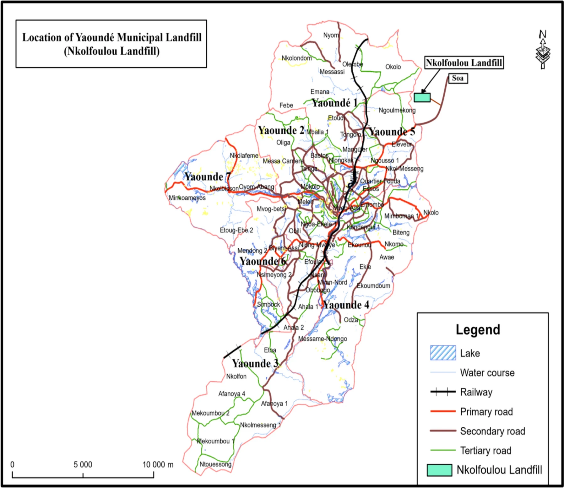
Ateh Suh N. N., Roberto R., Abdou Nasser N. M., Paula Ngo F. T., and Gergino Chounna (2024).
Material recovery as a strategy for landfill remediation: a case study of Nkolfoulou landfill, Cameroon
.
Journal of Material Cycles and Waste Management.
-
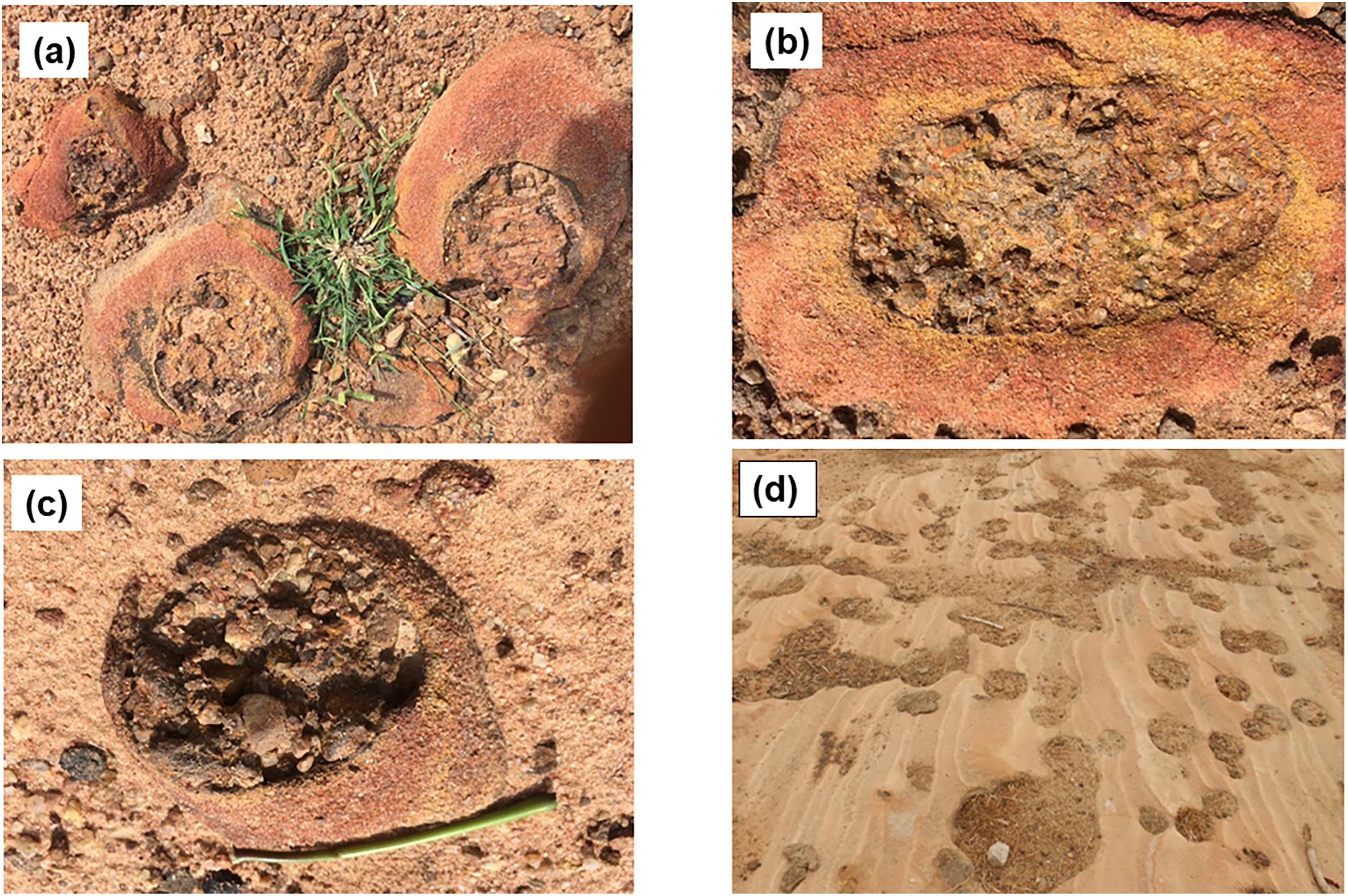
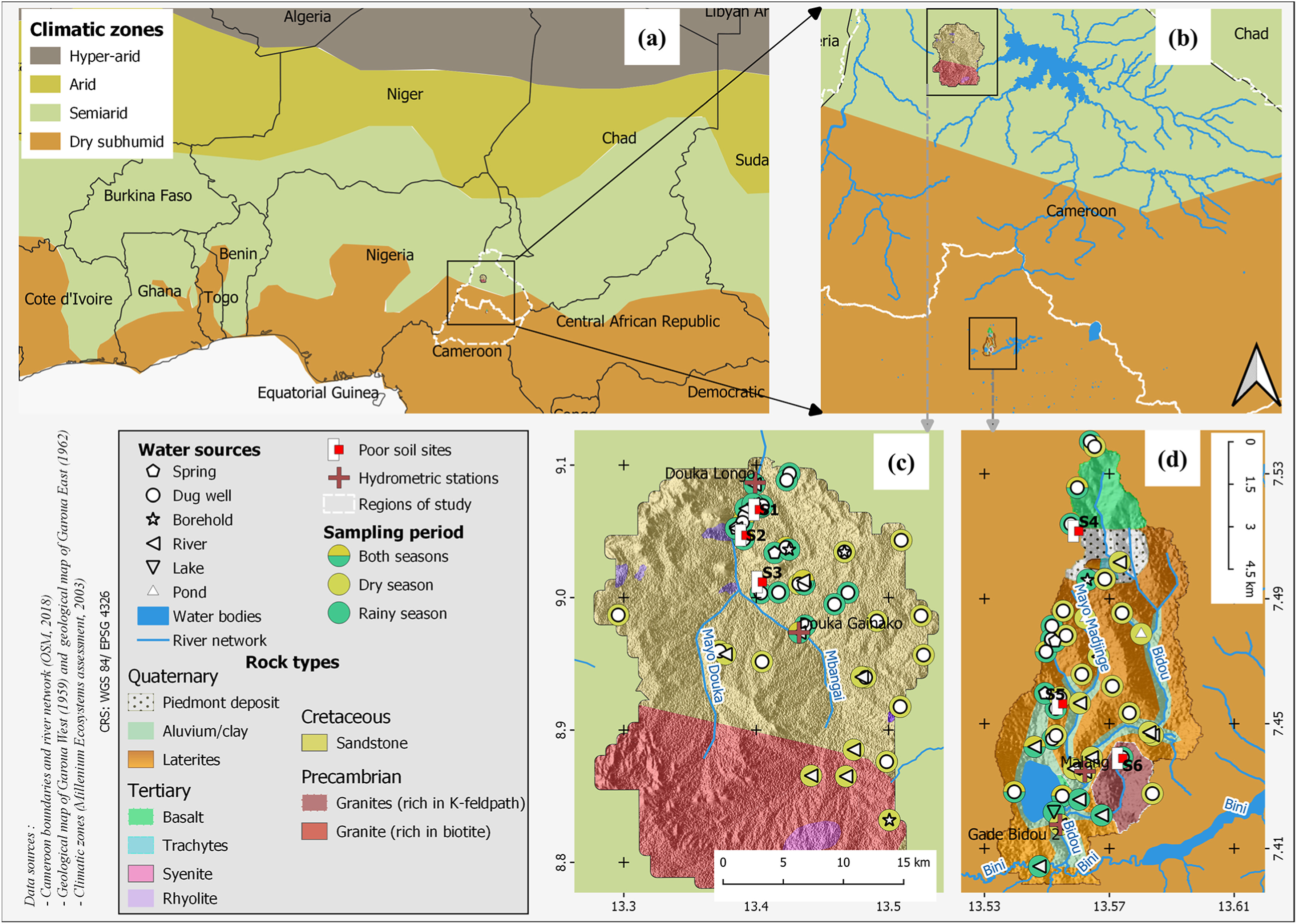
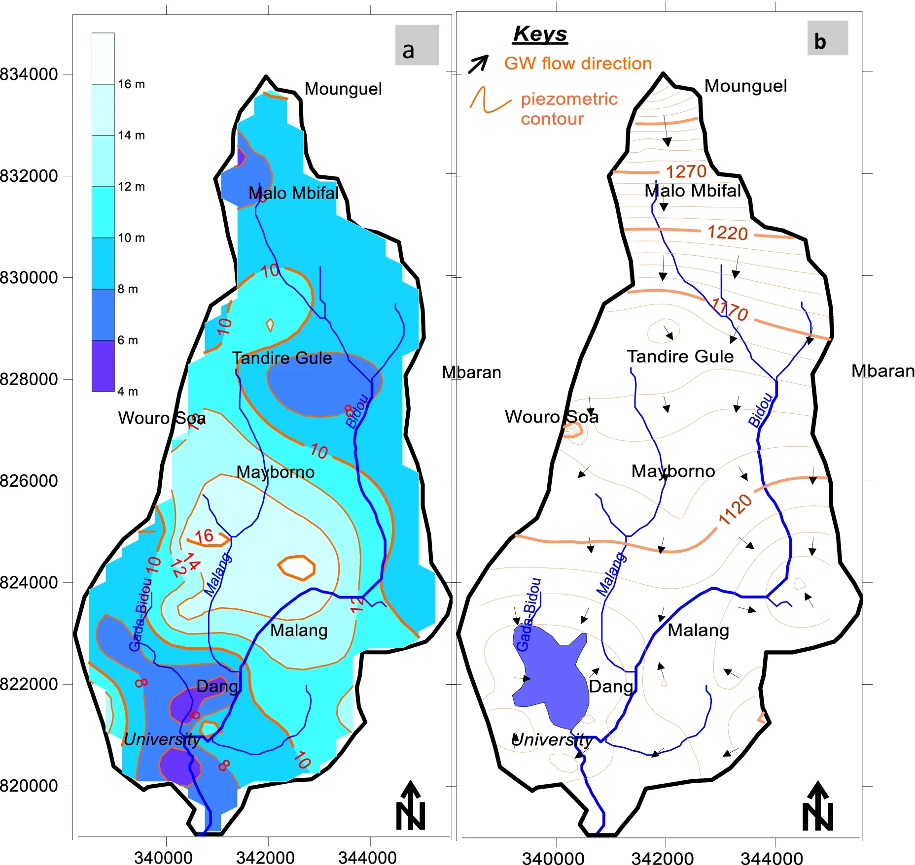
Wilson Y. FANTONG, Gergino Chounna , Therese L. L. Jokam NENKAM, Alain T. FOUEPE, Ernest CHI FRU4, Yaya FODOUE, Claire CARLIER, Sara VASSOLO, Yollande NKWESSE, Pierre NBENDAH, George E. NKENG, Nelly MONTCOUDIOL (2023).
Hydrogeochemistry of low agricultural soil yield in Sahelian and Sub-Tropical watersheds, Northern Cameroon
.
Journal of African Earth Sciences 199 (2023) 104823.
-
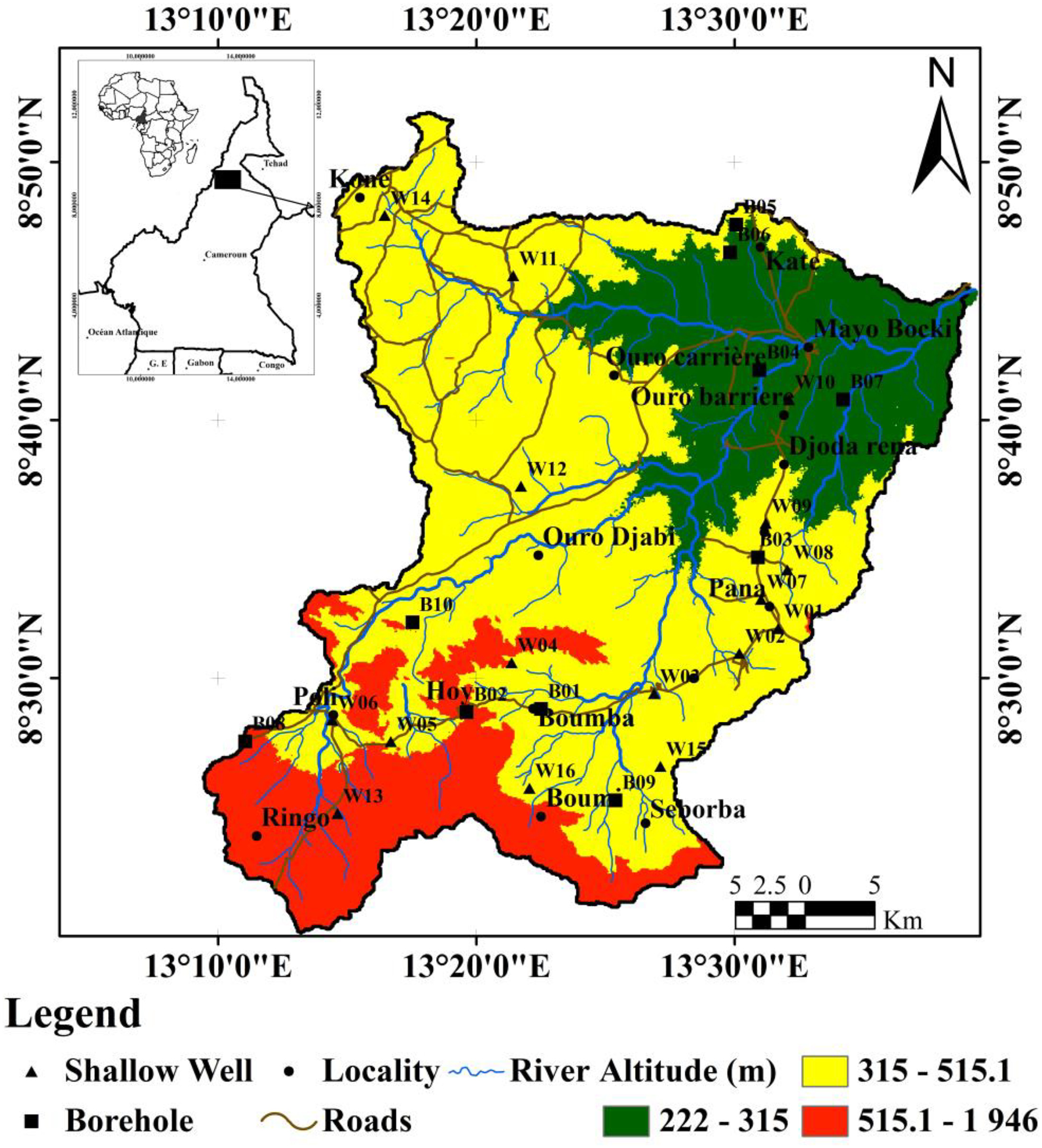
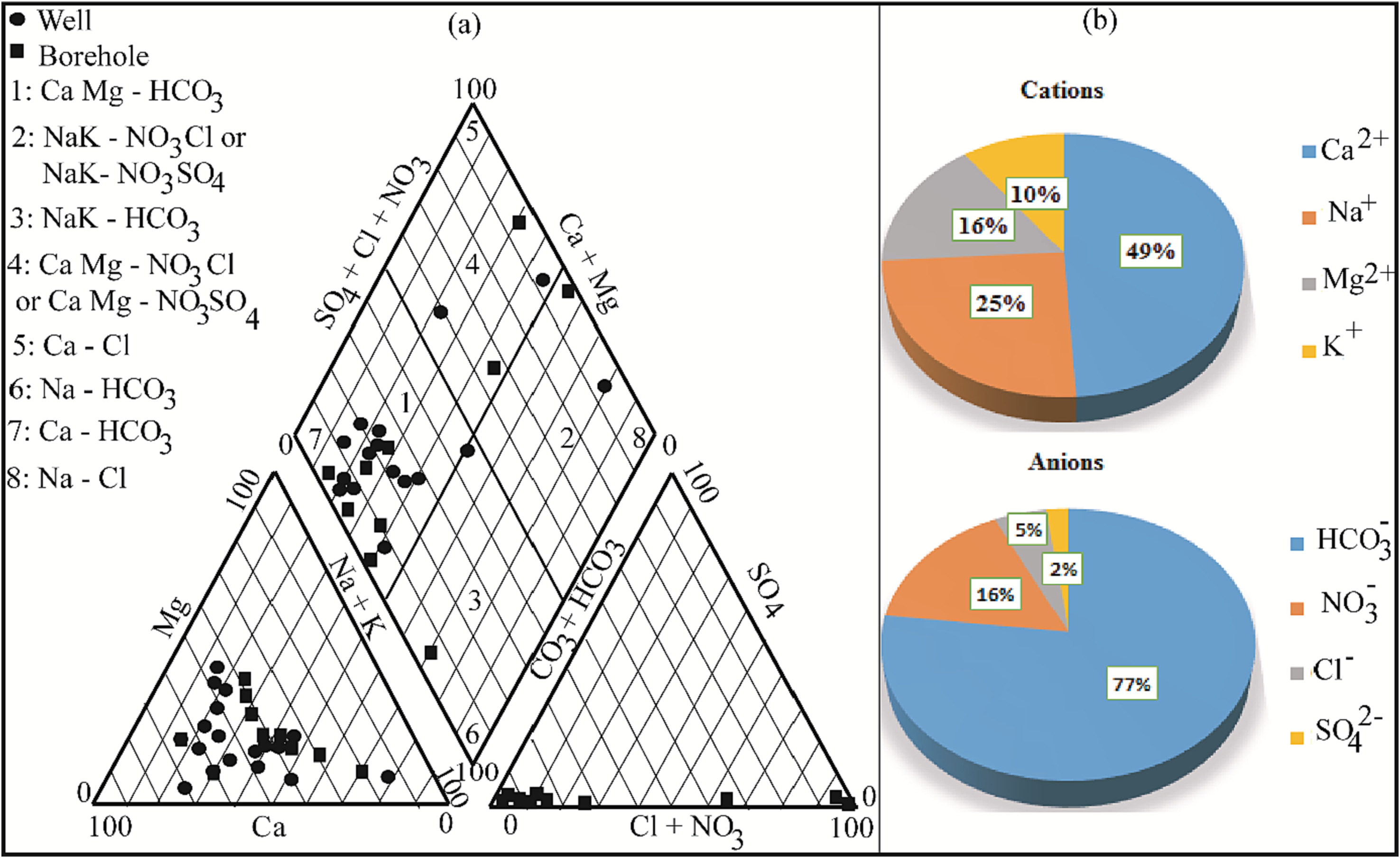
Haman J.B. Didier, Wilson Y. Fantong, Ewodo G. Mboudou, Auguste Ombolo, Therese L.L. Nenkam Jokam, Gergino Chounna ,and Gabriel Messi, (2023) .
Hydrogeochemistry and stable isotopes of groundwater in the Sudano-Sahelian zone: a case of the Mayo Bocki watershed in North Cameroon
.
Journal of HydroResearch 6 (2023) 36–51.
-
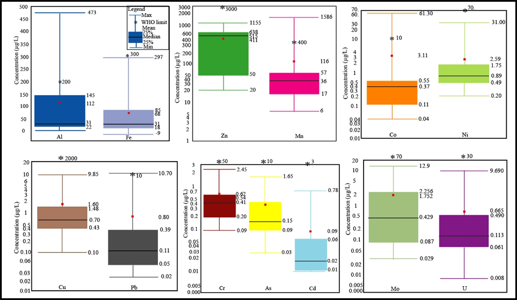
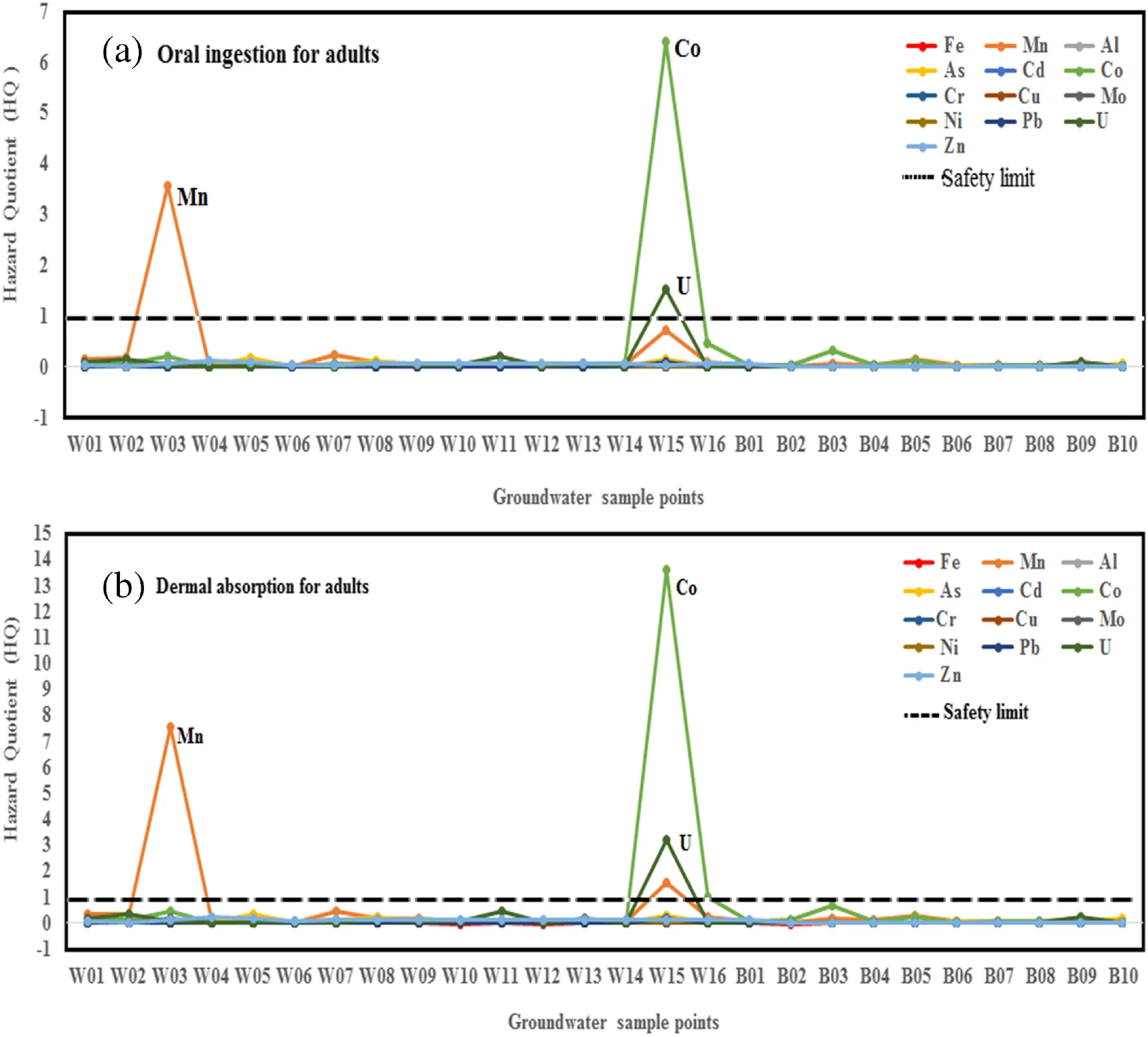
Haman J.B. Didier, Ewodo G. Mboudou, Wilson Y. Fantong, Auguste Ombolo, Gergino Chounna ,, Line Laure N.
Jokam, Gabriel Messi, (2023).
Potentially toxic elements contamination in groundwater and human health risk assessment in the Mayo Bocki watershed, North Cameroon.
.
Arabian Journal of Geosciences (2023) 16:479.
-
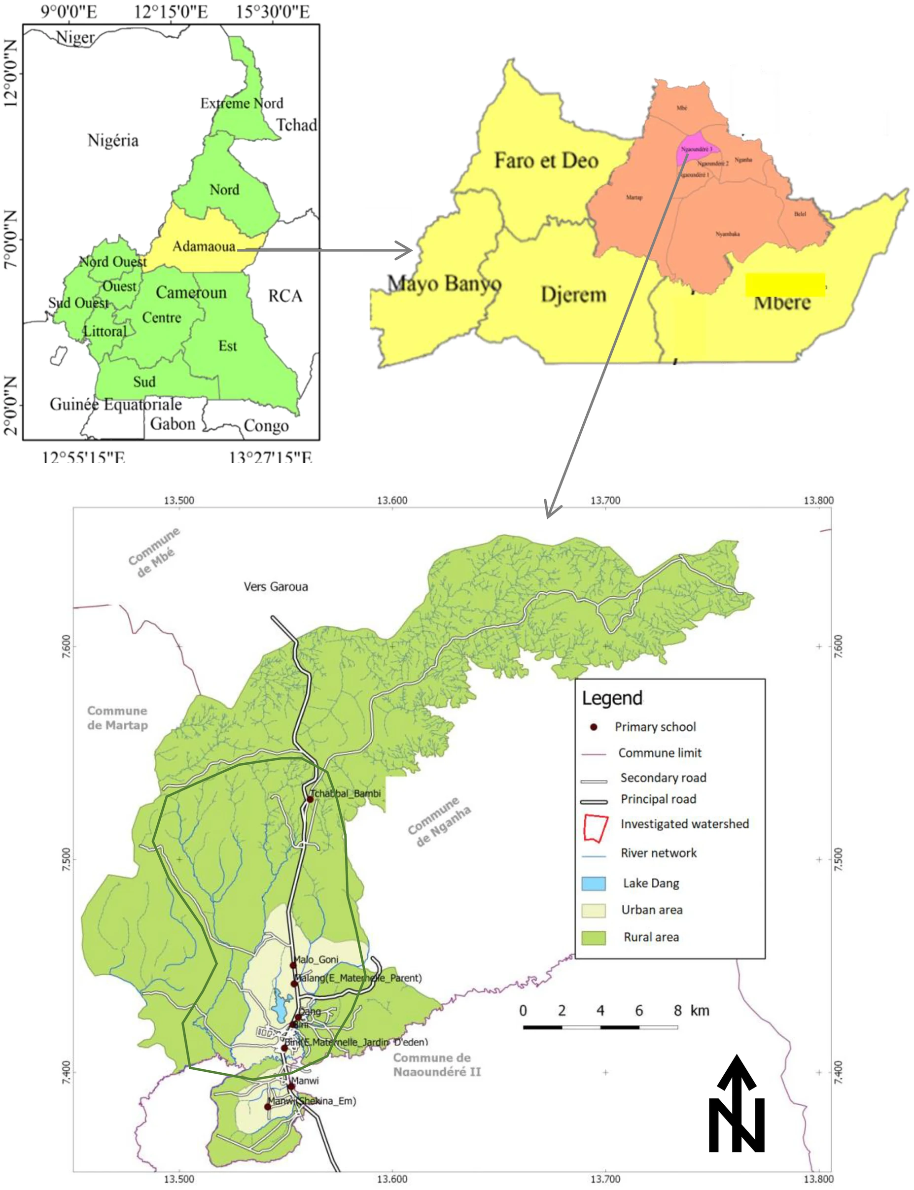
Alain Fouépé Takounjou · Wylliam Foano Dandjio · Yaya Fodoué · Wilson Fantong · Mohamed Ngah · Thérèse Jokam Nenkam · Claire Carlier · Sara Vassolo · Nelly Montcoudiol · Carine Enow Tarkang Gergino Chounna . Robert Kringel, (2022).
Assessment of water availability for agricultural activities in the Savanna Plateau of Adamawa, Cameroon
.
Environ Monit Assess (2022) 194:813.
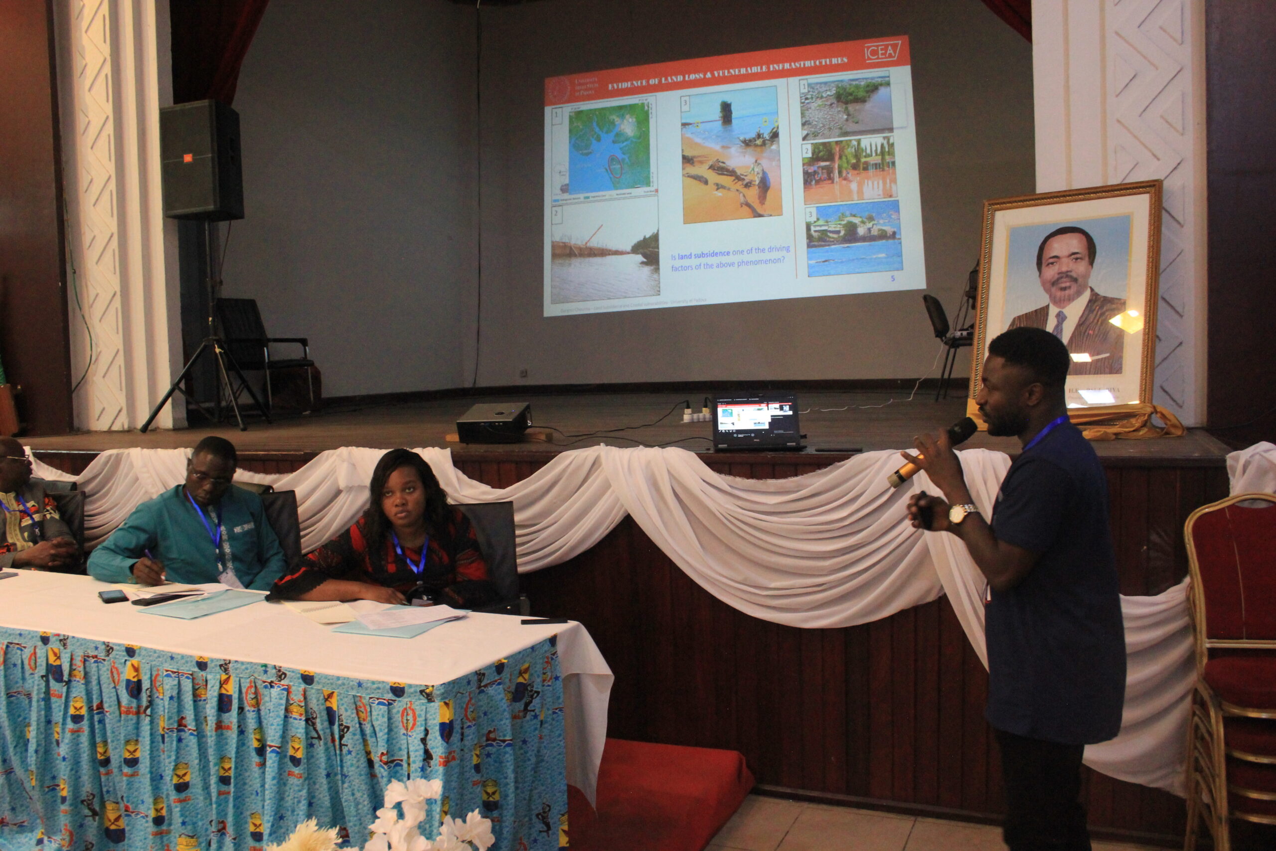
- Gergino Chounna , Philip Minderhoud and Pietro Teatini. Will Douala’s Coastland sink faster than sea-level rise? Investigating coastal subsidence and relative sea-level rise until 2050 . WACA-VAR (West Africa Coastal Areas – Map Vulnerability, Adaptability and Resilience in a Changing Climate) Workshop 2025, Grand-Bassa (Cote d’Ivoire), 30th September to 02nd October 2025.
- Gergino Chounna , Caterina Millevoi, Philip Minderhoud and Pietro Teatini. Assessing urbanization-induced land subsidence in Douala (Cameroon): A Deep Learning integration of remote sensing and soil data . Joint SIMP-SGI Congress, Padova (Italy), 16th – 18th September 2025. May 12-15, 2025, Kraków, Poland.
- Gergino Chounna , Philip Minderhoud, Leonard Ohenhen, Katharina Seeger, Manoochehr Shirzaei, Pietro Teatini. Land Subsidence and Coastal City Vulnerability: Elevation Data Challenges in Douala Coastland, Cameroon . IAG-Urban Geomorphology-2025 Working Group Workshop: Geomorphology, geodiversity, and geosites in urban areas. May 12-15, 2025, Kraków, Poland.
-
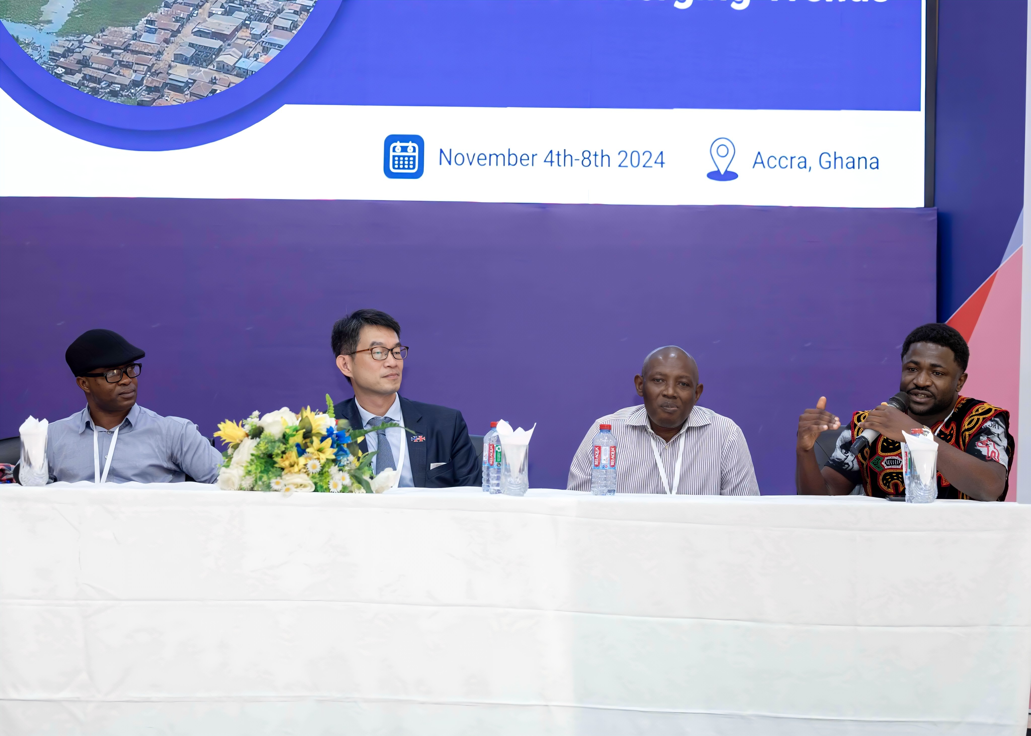
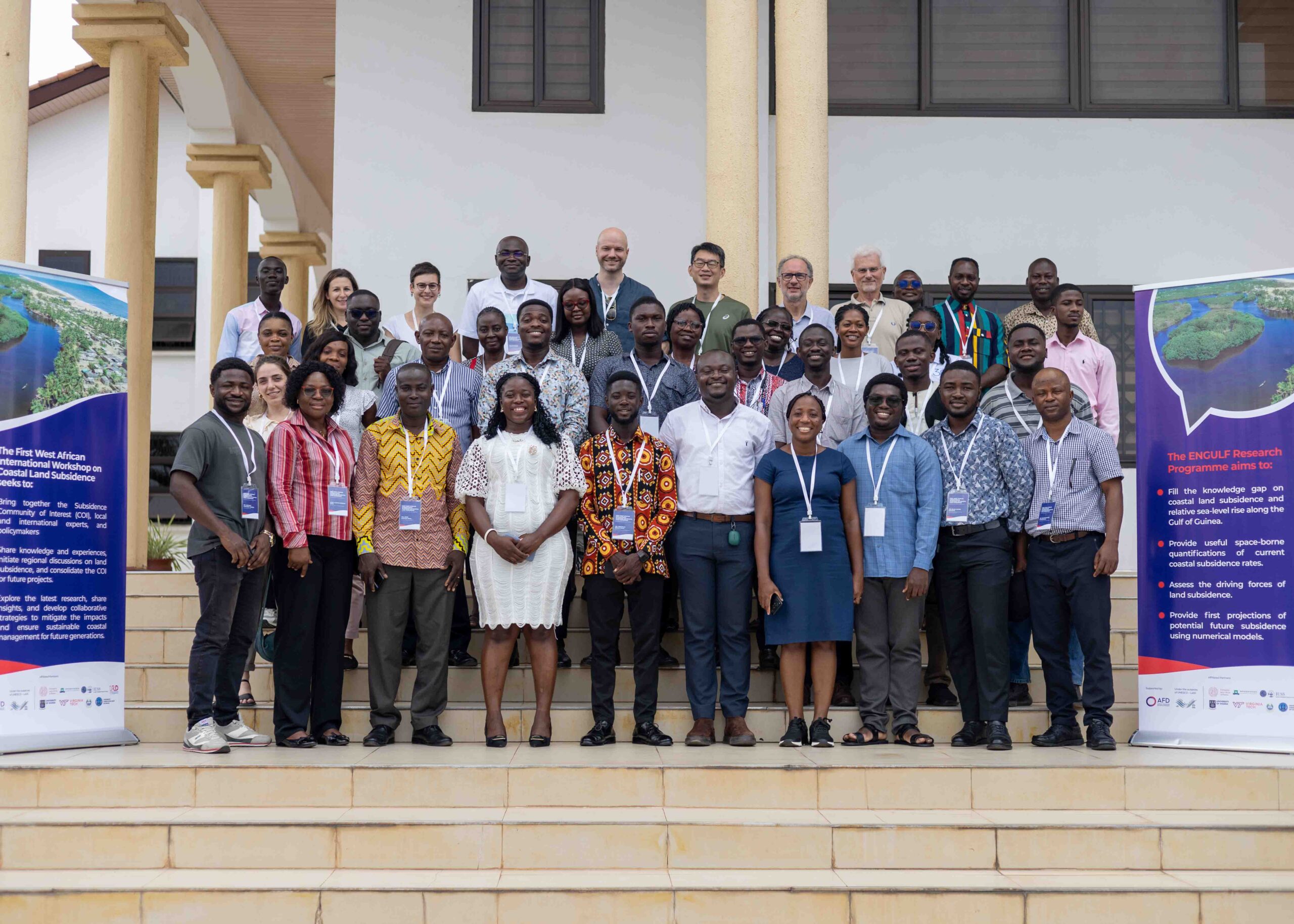
Gergino Chounna , Philip Minderhoud, Leonard Ohenhen, Katharina Seeger, Manoochehr Shirzaei, Pietro Teatini. Land Subsidence and Coastal City Vulnerability: Elevation Data Challenges in Douala Coastland, Cameroon
.
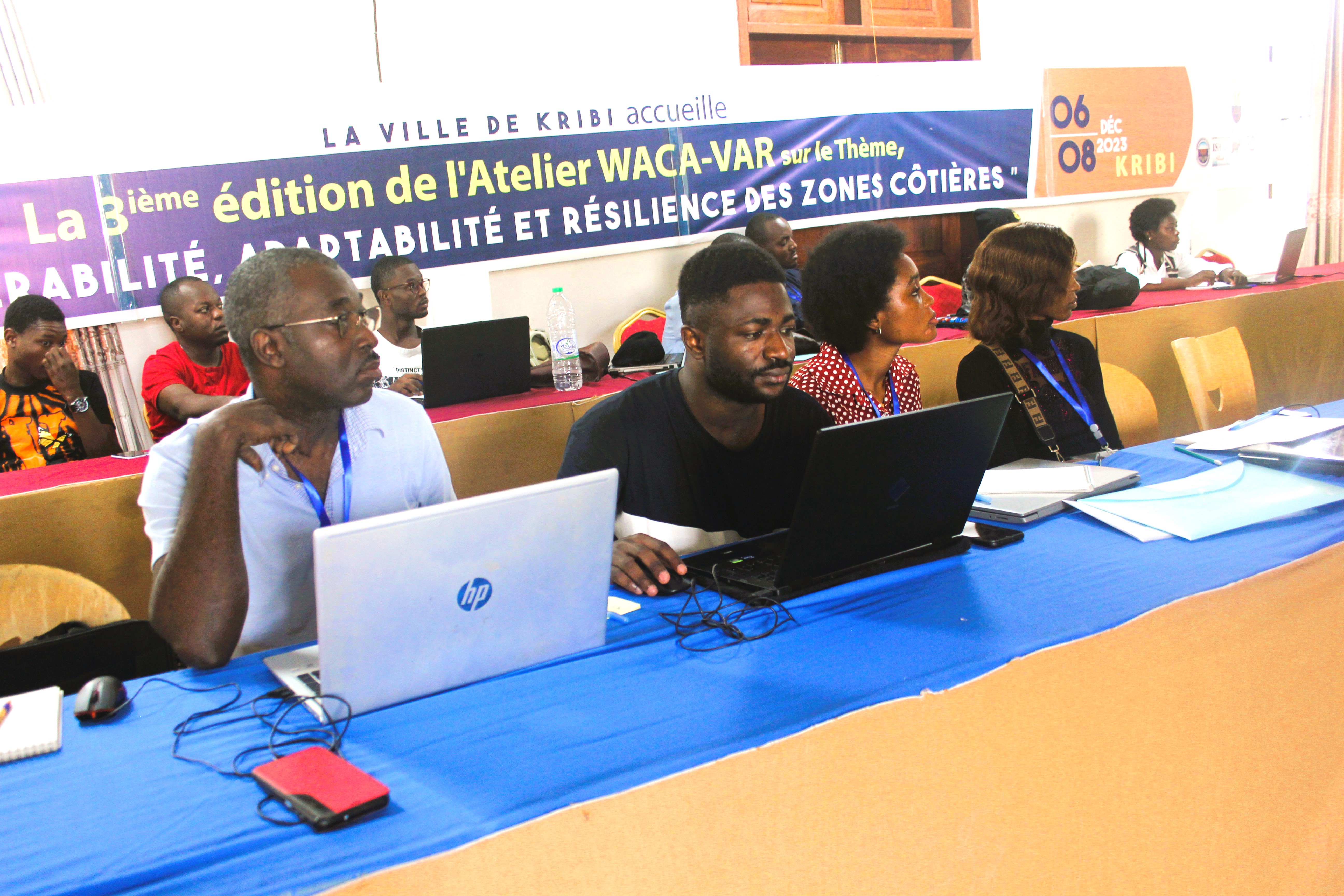
West African International Workshop on Coastal Land Subsidence, 04 to 10 December 2024, in Accra (Ghana).
-
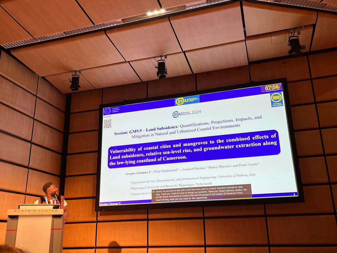
Gergino Chounna , Philip Minderhoud, Leonard Ohenhen, Manoochehr Shirzaei, Pietro Teatini. Vulnerability of coastal cities and mangroves to the combined effects of Land subsidence, relative sea-level rise, and groundwater
extraction along the low-lying coastland of Cameroon
.
European Geological Union (EGU) 2024, Vienna (Austria), 14th-18th April 2024.

-
Gergino Chounna Philip Minderhoud, Leonard Ohenhen, Manoochehr Shirzaei, Pietro Teatini. Estimating Land Subsidence Dynamics on Rapidly Developing Coastal Urban Environments: Case of Douala City in Cameroon
.
URBIS24, Frascati (Italy), 16th-18th September 2024.
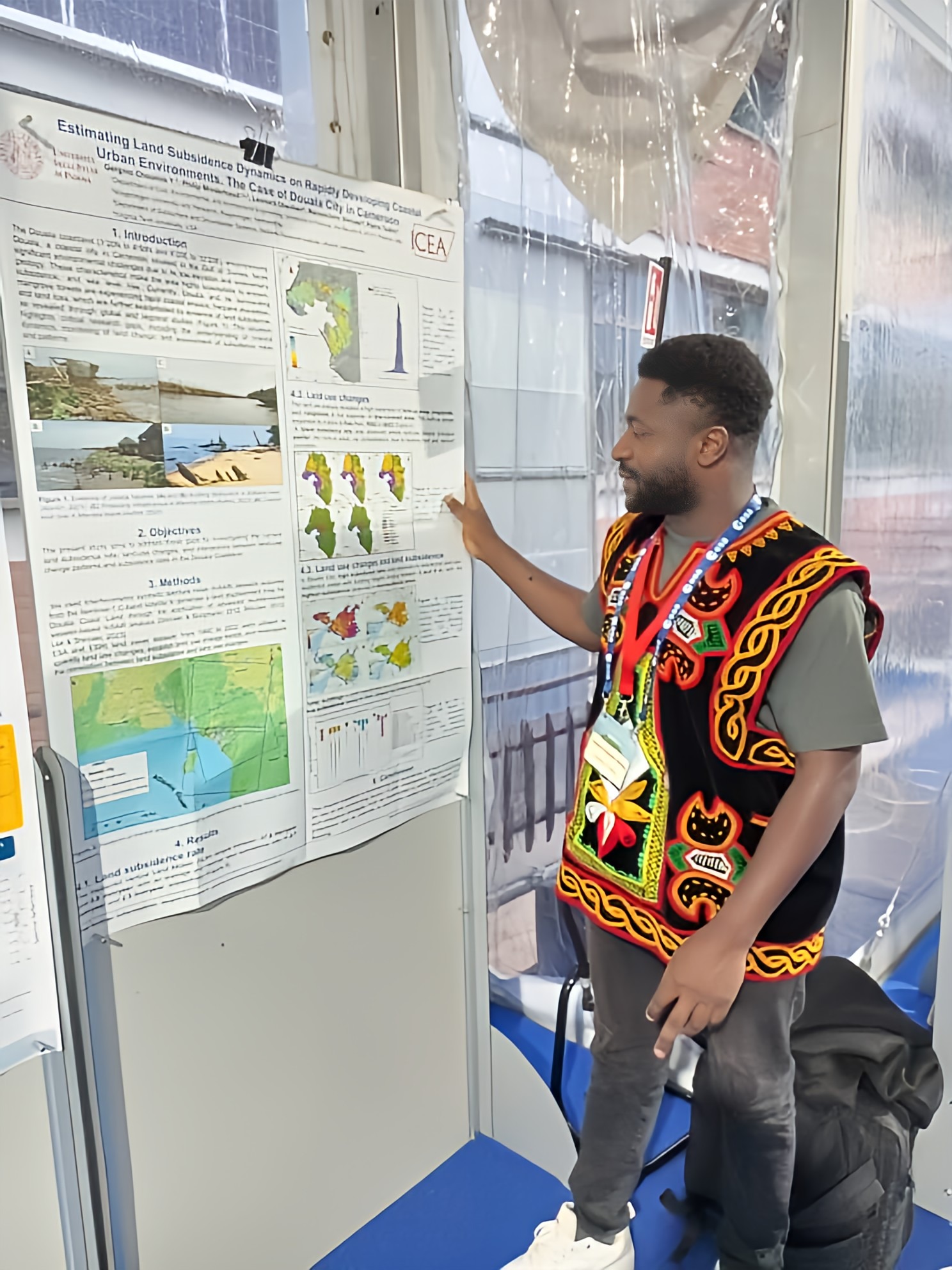
- Gergino Chounna Philip Minderhoud, Leonard Ohenhen, Manoochehr Shirzaei, Pietro Teatini. Estimating Land Subsidence Dynamics on Rapidly Developing Coastal Urban Environments: Case of Douala City in Cameroon . AAEES Autumn Summit 2024, Online, 17th October 2024.
Land subsidence dynamics in the Douala Coastland
Global subsidence of river deltas
Strategic Material recovery
Hydrogeochemistry of low agricultural soil yield
Groundwater in the Sudano-Sahelian zone
Groundwater Contamination & Human health Risk
Agricultural Water Security
Conferences Presentations and Posters
Abstract:Rapidly growing coastal cities along the Gulf of Guinea are increasingly exposed to geo- environmental hazards, including coastal erosion, sea-level rise, and land subsidence. One of these increasingly impacted cities is Douala in Cameroon. In Douala, rapid urban expansion has intensified environmental stress, contributing to accelerated land subsidence in vulnerable zones, with InSAR-estimated rates averaging -2.7 mm/year and reaching -17.6 mm/year in some areas between 2018 and 2023. These processes are largely driven by land-use changes, and high rates are mainly attributed to the urbanisation of croplands and wetlands. With Douala’s population expected to double by 2050, ongoing land-use changes, urbanisation, and related increased groundwater extraction are likely to exacerbate land subsidence risks. Despite this, the ability to understand, project, plan, and integrate future land subsidence into urban planning strategy remains limited due to data gaps and underdeveloped modelling approaches. This study attempts to address the knowledge gap by applying Singular Spectrum Analysis (SSA) to InSAR-derived land subsidence time series (2018–2023) to extract dominant trend components. A statistical modelling framework is then used to identify the best-fitting function (linear, polynomial, or exponential) for each measurement point. These models are applied to project cumulative land subsidence across Douala until 2050. The projected cumulative land subsidence is combined with projected sea-level-rise values (SSP1-SSP5) and up-to-date high- resolution elevation assessments to assess the future exposure of the Douala Coastland. Our results provide estimates of relative sea-level rise for Douala up to 2050 and provide valuable insights for urban planning and coastal resilience strategies of the Gulf of Guinea’s sinking cities.
Keywords: Coastal Subsidence, Coastal Vulnerability, Urban Adaptation, Relative Sea-Level Rise.
Abstract:Rapidly growing coastal cities in the Gulf of Guinea, particularly low-lying areas like Douala, in Cameroon, face significant geo-environmental hazards, exposing the population, environment, and infrastructure to the impacts of sea-level rise, coastal erosion, and land subsidence. In Douala, rapid urban expansion has intensified environmental stress, contributing to land subsidence in vulnerable zones, with observed rates averaging -2.7 mm/year and reaching -17.6 mm/year in some areas over the period between 2018 to 2023. These phenomena are largely driven by land-use changes, mainly the urbanisation of croplands and wetlands. Despite this, the mechanisms driving land subsidence remain poorly understood, mainly due to limited data availability. This study aims to address this knowledge gap by applying a Deep Learning model to investigate the relationships between land-use change, shallow soil properties, building features, and subsidence patterns. The model combines land-use change data (1992-2022), geological soil data, urban built-up data from the Global Human Settlement Layer (1975-2020), and subsidence measurements from advanced InSAR. Empirical equations are implemented to quantify land subsidence and identify key spatial and temporal drivers of ground deformation, to support subsoil characterization, and to predict future subsidence patterns. The goals of this work are to develop the first integrated model of land subsidence associated with the urbanization of Douala and provide valuable insights for urban planning and geo- environmental risk mitigation in the region.
Keywords: land subsidence, neural network, urbanisation
Abstract: Douala, a city situated on the coast of Cameroon in the Gulf of Guinea, is characterized by its low elevation above sea level and sedimentary geology, making it particularly susceptible to erosion, subsidence, and sea level rise. Currently, Douala City and its surrounding mangrove forests experience alarming rates of coastal erosion, frequent flooding, complete land loss, and evidence of subsidence from regional and continental research. This raises critical questions and reveals numerous research gaps, such as the need to better understand current coastal dynamics; approaches for monitoring and predicting Douala's low coastland changes; the need to understand the rates, causes, and patterns of subsidence; and lastly, the understanding of the combined impacts of multiple factors on coastal city vulnerability. Therefore, this study aims to fill these knowledge gaps by investigating, understanding, and estimating the causes, consequences, and coastal vulnerability of land subsidence. In this study, remote sensing data, InSAR analysis, spatial analysis, and statistical analysis were used to assess the actual land subsidence rate, determine the factors influencing land subsidence, estimate the influence of land use change on subsidence processes, and establish an integrated vulnerability assessment for the coastal areas of Douala. The findings of this study indicate an average rate of subsidence amounting to 2.9 mm/year, which is indicative of subsidence occurring in all areas of the city. Furthermore, the effects of land use were observed to be dependent on the period and rate of change. These results will be of great importance in gaining a more comprehensive understanding of the dynamics of Cameroon's mangrove landscape and the susceptibility of coastal infrastructure to subsidence, coastal retreat, and potential flooding events. These findings can be utilised to develop sustainable management strategies for the coastal zone of Douala.
Keywords: Land Subsidence, Land use, InSAR, Spatial Analysis, Flooding.